
Recovery improved by 400% in mature field
Download PDFMature Fields

Overcoming limitations of traditional geomapping in Residual Oil Distribution

CHINA

Fluid distribution in an offshore mature oilfield has been significantly impacted by decades of production and injection. This increased the operator’s uncertainty in terms of oil-water contact (OWC) and distribution. To improve productivity, an additional maximum reservoir contact (MRC) lateral was planned to tap any potential residual oil. The key to success for this project was to identify residual oil distribution and place the well trajectory in a decent position as far from the OWC as possible during real-time drilling operations. The operator opted to exploit ultra deep resistivity technology for the first time in this field to deliver precise formation and fluid boundaries in the far field and optimize the well path during drilling and production enhancement.
In addition to the substantial transformation of this mature reservoir in terms of residual oil distribution after decades of production, the situation was further impacted by uneven water flooding with producers and injectors nearby. This uncertainty made it impossible to map residual oil distribution using traditional geosteering sensors because of the limited depth of investigation.
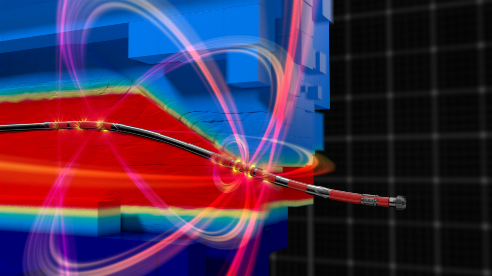
Ultra deep resistivity reservoir mapping was selected for initial application in this field. This service enables operators to position production boreholes accurately while mapping large volumes of the reservoir. It further enhances subsurface knowledge with 3D inversion, a technology that provides a real-time visual of the geology and fluid in place for better placement decisions.
Through pre-well modeling, the team used an 8-m radius inversion model and single receiver configuration to map far field resistivity boundaries and supply inversion resolution to depict detailed formation features. Real-time inversion provided by the EarthStar® ultra-deep resistivity service created excellent representation of the OWC and lithology throughout the horizontal section. Additional deep-azimuthal resistivity and geological signal measurements provided by the tool helped identify lateral stratigraphic variations.
increase in daily production
The high-quality inversion enhanced the operator’s reservoir understanding by clearly defining the fluid boundary and reservoir top. This not only enabled optimal well trajectory placement, but also helped the operator make real-time decisions about the the completion design. As a result, daily production was increased four times (400%). The inversion canvas also identified distribution of calcium interlayers within the target reservoir verified by ultra-deep-azimuth resistivity measurements. This enhanced reservoir insight and provided important information about future well deployment.
The exceptional results obtained using the EarthStar service provided the operator great confidence in subsequent applications for MRC wells. This economic benefit confirms the substantial potential for this technology to help secure production in mature oilfields.

Reservoir Mapping and GeoSteering
Get better insights into reservoirs
Learn More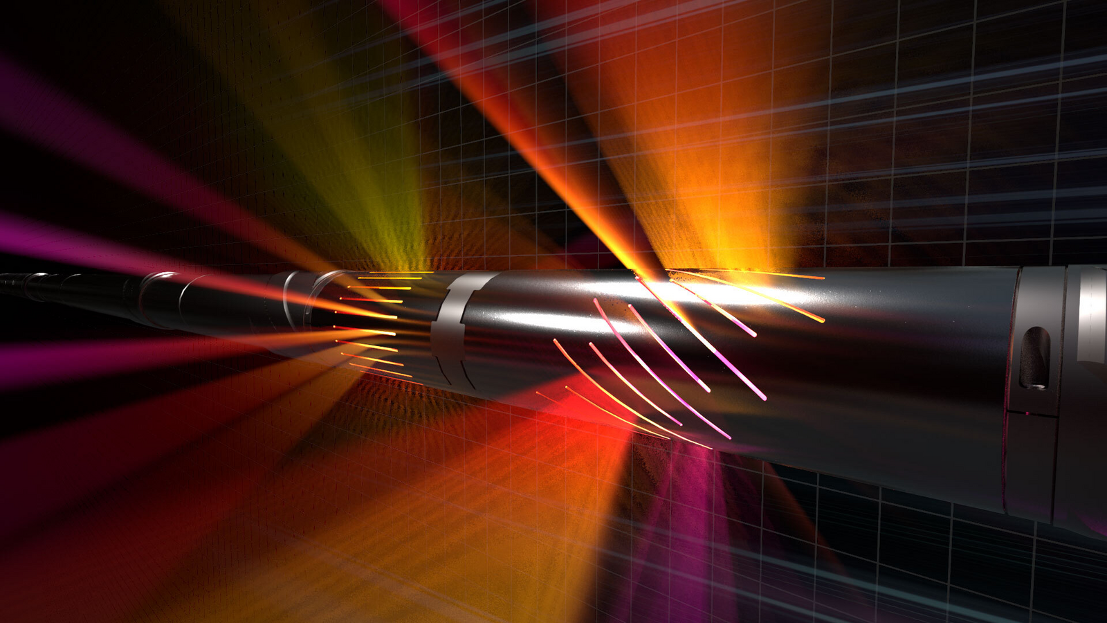
Ultra-deep resistivity service mapping reservoir and fluid boundaries up to 225 feet from the wellbore.
Near-bit, shallow, and ultra-deep resistivity service that enables accurate reserves evaluation to help place wells in the productive zone of the most complex reservoirs.

Look-ahead resistivity measurements revealing structure and fluid boundaries to enable proactive drilling decisions.

Fully digital and web-enabled to monitor and control drilling and logging operations from anywhere.

