 Search
 Search

Maximize reservoir contact and accelerate well delivery time
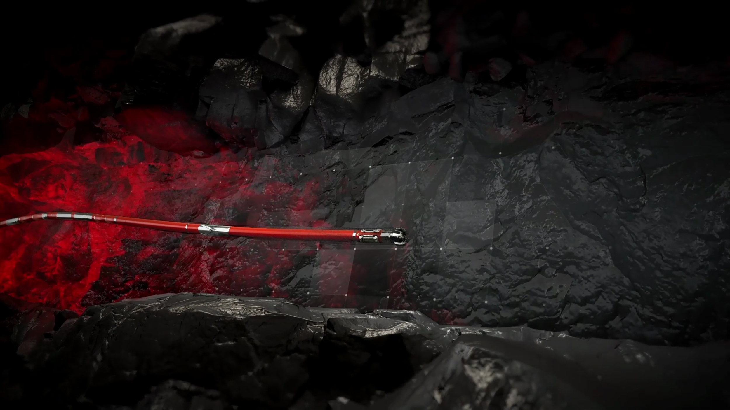
sdfsdfLOGIX™ automated geosteering redefines geosteering precision with a combination of automation, real-time intelligence, and advanced geological modeling to optimize well placement, maximize recovery, and improve operational efficiency. The service optimizes well placement with use of real-time intelligence and advanced modeling to detect geological variations along the planned well path and updates it accordingly. Early detection reduces geological uncertainty and enables timely, and accurate drilling decisions to keep the wellbore in target zones and maximize recovery. Compatibility with LOGIX™ auto steer improves operational efficiency with a seamless transition between geological target changes and well path updates.
LOGIX™ automated geosteering automates geological interpretation and decision-making to facilitate accurate, repeatable, and unbiased geosteering results. With real-time automation and intelligence, the system continuously projects ahead to detect geological variations, such as dips, and updates subsurface models.
LOGIX™ redefines geosteering with automation, real-time intelligence, and advanced modeling for optimized drilling precision
01:07
LOGIX™ automated geosteering integrates real-time resistivity, seismic, and formation imaging data to improve geological mapping and optimize reservoir exposure through automated trajectory control. The automated real-time boundary detection continuously updates the geological model to improve model accuracy and enable precise, real-time trajectory adjustments to stay in the reservoir. LOGIX™ automated geosteering uses real-time resistivity inversions and imaging data to identify new pay zones, define new targets, and make informed well placement decisions to optimize reservoir contact.
Automated calculations accelerate the time between detection and action to improve consistency and minimize errors. Reduce downtime, improve wellbore tortuosity, and accelerate well delivery.
The integration of LOGIX™ automated geosteering and LOGIX™ auto-steer allows a smooth transition from well path updates to real-time drilling control to improve operational efficiency. Automated geosteering analyzes and incorporates the data from offset wells, geological and seismic data, and real-time drilling and LWD data to improve subsurface insight and enable faster decision making. By making smaller, more frequent decisions, instead of larger, delayed adjustments, it reduces downtime, improves wellbore tortuosity, and accelerates well delivery. The system minimizes human error and improves wellbore quality. This leads to better reservoir contact and completion efficiency.
LOGIX™ automated geosteer can integrate with the DecisionSpace® earth modeling software to ensure automated data processing and uniform geological interpretations across different projects and teams.
Unlike manual interpretation, LOGIX™ automated geosteering can provide real-time visualization and reservoir productivity calculations while calculating additional values such as reservoir thickness and fluid contacts.

Increase the consistency and performance of well construction operations by integrating subsurface automation, digital twins, and remote operations.

Offers a digital transformation of drilling solutions to reduce operational risks and ensure consistent well delivery.

Drill wells safely, avoiding financial and environmental damages from anti-collision situations.


Ready to take the next step?